
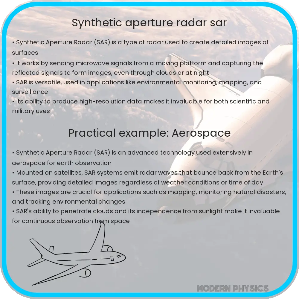
Synthetic Aperture Radar (SAR) is a sophisticated technology used for Earth observation, creating high-resolution images by utilizing the movement of its antenna over a target.
Synthetic Aperture Radar (SAR): An Overview
Synthetic Aperture Radar (SAR) represents a powerful technology used for Earth observation. Unlike conventional radar systems that measure the time delay of the reflected signals to determine object locations, SAR utilizes the movement of the radar antenna over a target region to create finer spatial resolution images. This technique allows for detailed mapping and analysis of surfaces and features, making it invaluable in fields such as geography, cartography, and environmental monitoring.
How SAR Works
The core concept behind SAR is relatively simple yet ingenious. A SAR system typically operates from an airborne platform—like an aircraft or satellite. As it flies, the radar emits electromagnetic waves down towards the Earth’s surface. These waves hit the ground and reflect back to the radar. Because the radar is continually moving, it captures these reflected signals from various angles over time, effectively synthesizing a much larger antenna or aperture.
The key to SAR’s capability lies in its use of the Doppler effect, which arises from changes in frequency of the reflected waves due to relative motion between the radar and target surfaces. By processing these frequency variations, SAR can construct 2D or 3D images of landscapes with much higher resolution than would be possible with the physical size of the actual antenna.
The Mathematics Behind SAR Imaging
To understand the imaging process, consider the radar equation modified for SAR applications:
\[ P_r = \frac{{P_t G_t G_r \lambda^2 \sigma}}{{(4\pi)^3 R^4}} \]
where:
- Pr is the received power,
- Pt is the transmitted power,
- Gt and Gr are the transmit and receive antenna gains,
- λ is the wavelength of the radar signal,
- σ is the radar cross section of the target,
- R is the slant range from the radar to the target.
This equation helps determine the strength of the return signal, which is vital for producing accurate SAR imagery. The processing of reflected signals to form an image includes several computational steps involving complex algorithms to handle the extensive data and Doppler shifts. This process results in the generation of high-resolution images even from greater distances.
Real-World Applications of SAR
SAR technology has extensive applications across various sectors:
- Environmental Monitoring: SAR can penetrate cloud cover and work effectively irrespective of light conditions, making it excellent for monitoring deforestation, glacier dynamics, and other environmental changes over time.
- Mapping and Cartography: SAR’s ability to produce fine detailed maps even in cloud-covered areas is highly useful in updating and refining geographical information systems (GIS).
- Disaster Management: SAR plays a crucial role in disaster response strategies, providing detailed images to assess damage, plan relief operations, and monitor recovery progress.
- Agriculture: Farmers use SAR data to evaluate crop health and moisture levels of the soil, aiding in better farm management practices.
Each application benefits from SAR’s unique capabilities to deliver precise, timely, and informative data crucial for analysis and decision-making. This underscores SAR’s invaluable role in contemporary science and technology, providing crucial data that helps shape solutions to many of the world’s pressing issues.
Challenges and Limitations
Despite its advantages, SAR is not without its challenges and limitations. High-resolution SAR imagery can be data-intensive, requiring significant processing power and sophisticated algorithms. Interpretation of SAR images also demands specialized skills and experience, as the images are not always intuitive to analyze. Furthermore, atmospheric conditions, like heavy rain, can sometimes affect the accuracy of SAR data.
As developers continue to enhance SAR technologies, overcoming these limitations remains a critical focus, aiming to maximize the effectiveness and applicability of SAR in various fields. As it stands, Synthetic Aperture Radar is a pivotal tool in the pursuit of understanding and managing the Earth’s resources and challenges effectively.
Future Prospects of SAR Technology
Looking ahead, the future of SAR technology is promising with potential advancements that could further enhance its resolution and applicability. Integrating artificial intelligence (AI) with SAR processing could lead to faster and more accurate data analysis, significantly benefiting real-time applications such as disaster monitoring and response. Additionally, the development of smaller, more cost-effective SAR systems could enable their use in smaller satellites and unmanned aerial vehicles (UAVs), opening up new possibilities for environmental monitoring and urban planning.
Moreover, advancements in signal processing techniques and the deployment of SAR arrays in space could lead to even finer details in imagery. This could revolutionize fields like archaeology and geology where subtle land changes need to be monitored over time. With these technological advancements, the scope of SAR’s applications could greatly expand, offering more precise tools for scientific research and practical applications in daily life.
Conclusion
Synthetic Aperture Radar (SAR) is a remarkable example of how sophisticated engineering merged with advanced mathematics provides critical capabilities in observing and understanding our planet. From ecological monitoring to aiding in disaster relief, SAR has demonstrated its versatility and necessity in modern technology landscapes. Despite facing challenges like data complexity and atmospheric disturbances, ongoing advancements in technology promise to not only overcome these hurdles but also expand its potential uses.
As SAR technology continues to evolve, it can serve as a multifaceted tool that supports sustainable development and helps mitigate some of the pressing environmental problems we face globally. With the dedication of researchers and continued investment in technology, SAR will play an even more integral role in shaping our approach to environmental stewardship and resource management in the coming years.
By bridging the gap between technological capability and practical applications, SAR provides a lens through which we can better manage and protect our world, illustrating the profound impact that engineering and physics can have on real-world challenges.