
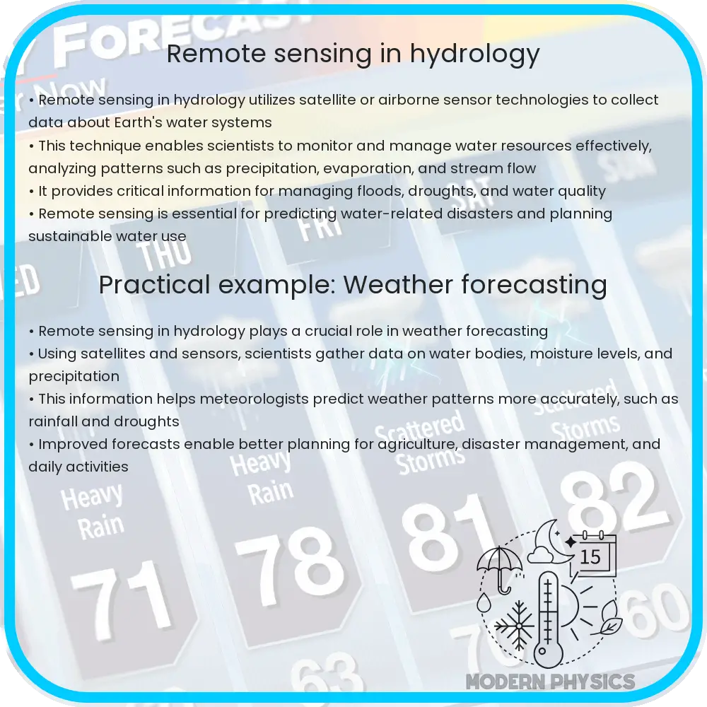
Remote sensing in hydrology involves using satellite and aerial imagery to monitor the water cycle, assess climate impacts, and evaluate water-related risks.
Understanding Remote Sensing in Hydrology
Remote sensing is a powerful tool in the field of hydrology, the science that deals with the properties, distribution, and effects of water on the Earth’s surface, in the soil and underlying rocks, and in the atmosphere. This technology provides critical data for studying various components of the water cycle and assessing the impacts of climate change and potential risks associated with water resources.
The Role of Remote Sensing in the Water Cycle
At its core, remote sensing involves gathering information about physical objects or areas from a distance, typically using satellite or aerial imagery. In hydrology, it is used to monitor components of the water cycle, which includes processes such as evaporation, condensation, precipitation, and runoff. By analyzing data collected from remote sensing technologies, scientists can track changes in precipitation patterns, snow and ice cover, soil moisture, and surface water flow, among other things.
- Precipitation: Satellites with remote sensing capabilities use radar and other sensors to measure rainfall and snowfall over vast areas and across various time periods. This is invaluable in understanding precipitation trends and preparing for water-related disasters like floods.
- Evaporation and Transpiration: Remote sensors can estimate the amount of water vapour emitted by plants and the evaporation from soil and water bodies. This data helps in calculating the overall humidity and potential for rainfall in a region.
- Snow and Ice Monitoring: Satellite images are crucial for monitoring snowpack and glaciers, which are key water sources for millions of people. Changes in their volume and melting patterns can be indicators of climate change and help in managing water resources efficiently.
- Soil Moisture: Soil moisture is a crucial parameter in hydrology, influencing not only the growth of crops but also the occurrence of floods. Remote sensing technology can provide soil moisture data over large and inaccessible areas, aiding in drought assessment and agricultural planning.
Assessing Climate Impact Using Remote Sensing
Climate change has a profound impact on hydrological systems around the world, affecting water availability and quality. Remote sensing data is vital for understanding these impacts because it provides long-term climate trend analysis that can help predict future changes in water resources.
- Temperature Changes: Remote sensing instruments measure surface temperatures across the globe. These measurements help scientists identify warming trends and their effects on the hydrological cycle, such as increased evaporation rates that reduce surface water levels.
- Glacial Retreat: Using remote sensing, researchers can monitor the retreat of glaciers, providing insights into rising global temperatures and changes in freshwater sources critical for drinking, agriculture, and energy production.
- Sea Level Rise: Satellite altimeters measure sea levels with high precision. This data is essential for understanding the consequences of melting polar ice caps and assessing the risk of coastal flooding.
Remote Sensing for Risk Assessment in Hydrology
One of the significant applications of remote sensing in hydrology is in the area of risk assessment. Hydrologists rely on remote sensing data to identify potential risks related to water such as floods and droughts, and to devise management strategies to cope with these events. Continuous monitoring through satellites offers a clear advantage in preparing for and mitigating the effects of these often devastating occurrences.
- Flood Mapping and Monitoring: Remote sensing technology is used to create detailed maps of flood-prone areas and to monitor ongoing floods. Satellite data, especially in real-time during heavy rains or sudden water releases from dams, are crucial for timely evacuations and disaster response.
- Drought Analysis: By measuring variables such as rainfall, soil moisture, and vegetation health, remote sensing can help identify regions suffering from drought. This information is pivotal for allocating water resources and supporting agricultural activities during extended periods of dry weather.
The use of remote sensing in hydrology provides a dynamic and comprehensive approach to understanding the water cycle, assessing climate impacts, and evaluating associated risks.
Technological Advances in Remote Sensing
As technology progresses, the capabilities of remote sensing in hydrology also enhance. Innovations such as higher resolution imaging, real-time data processing, and improved sensor technology allow for more precise and timely information. These advances facilitate better decision-making in water resource management and environmental protection.
- High-Resolution Imaging: New satellites are equipped with high-resolution cameras that capture detailed images of the Earth’s surface. This allows for more accurate predictions of water flow patterns and better assessment of land use impacts on hydrological systems.
- Real-Time Data: Technologies like geostationary satellites provide continuous observation, which is crucial during natural disasters. This capability ensures immediate data availability, helping authorities to react promptly to mitigate effects on the ecosystem and human populations.
- Advanced Sensor Technology: Enhanced sensors can detect changes in the Earth’s surface and atmosphere more effectively. For example, LIDAR (Light Detection and Ranging) technology uses light to measure distances to the Earth and can provide accurate data on topography, vegetation, and even water depth.
Challenges and Future Directions
Despite its numerous advantages, remote sensing in hydrology faces challenges such as data accessibility, the high cost of satellite missions, and the need for specialized technical skills to interpret complex datasets. Furthermore, integrating data from diverse sources to create comprehensive and universally accessible information remains a formidable challenge.
- Data Integration: Comprehensive management of water resources requires integration of remote sensing data with ground-based observations and hydrological models to produce accurate and actionable intelligence.
- Cost and Accessibility: Lowering the costs of remote sensing technologies and enhancing data access through open-source platforms could democratize information, making it available even to low-resource regions.
- Education and Training: There is a growing need for educational programs that can train upcoming scientists and engineers in advanced data analysis and interpretation skills specific to remote sensing in hydrology.
Conclusion
The integration of remote sensing into hydrology has revolutionized our ability to monitor and manage water resources effectively. By providing a bird’s eye view of large-scale environmental changes, remote sensing technologies enable precise tracking of hydrological variables and offer valuable insights into the water cycle, climate impacts, and associated risks. Despite facing certain challenges, ongoing technological advances and interdisciplinary collaboration promise to enhance its effectiveness further. As we continue to navigate a world with changing climate patterns and increasing water-related risks, remote sensing stands as a critical tool in ensuring sustainable water management and environmental stewardship.