
Learn about the geoelectric field, its measurement through magnetotelluric methods, analysis using Fourier transformations, and mapping to understand Earth’s subsurface.
Understanding the Geoelectric Field
The Earth is not just a sphere of rock; it is a dynamic system with its own natural electric fields, one of which is the geoelectric field. At its core, the geoelectric field is a low-frequency electric field that penetrates the Earth’s surface, induced primarily by geomagnetic activity. This activity comprises interactions between the Earth’s magnetic field and solar winds, which are streams of charged particles emitted from the sun.
Measurement of the Geoelectric Field
To measure the geoelectric field, geophysicists employ an array of instruments such as electrodes and magnetometers. Electrodes are placed in the ground to record the electric potential at different points, while magnetometers measure variations in the magnetic field. Typically, these measurements are done over a grid pattern to cover a wide area uniformly. The most common configuration used is called the magnetotelluric (MT) method, where both electric and magnetic field data are collected simultaneously at multiple frequencies.
Analysis of Geoelectric Data
Once the geoelectric data is collected, it must be analyzed to extract meaningful information about the subsurface. One of the principal methods of analysis is the Fourier transformation, which converts the time-domain measurements into frequency-domain data. This transformation allows geophysicists to separate out different geophysical responses based on frequency, facilitating a deeper understanding of subsurface structures.
Another crucial aspect of analysis is interpreting the apparent resistivity and phase, which are derived from the ratios of the magnetic and electric field measurements. This information can illuminate the conductivity of the ground at various depths, since the geoelectric field behaves differently depending on the materials it encounters. Rocks with high levels of conductive minerals or fluids will show low resistivity, while those that are drier or less mineral-rich will demonstrate higher resistivity.
Mapping the Geoelectric Field
Mapping involves creating a visual representation of the geoelectric field’s behavior across a particular area. To accomplish this, geophysicists utilize a combination of collected data, computational modeling, and geographic information systems (GIS). The result is a geoelectric map that portrays variations in earth conductivity and can highlight features such as fault lines, underground water reservoirs, or mineral deposits.
- 2D and 3D Models: These models are developed from the geoelectric and magnetic measurements to create cross-sectional views or full three-dimensional representations of the subsurface.
- Contour Maps: Contour maps of apparent resistivity can give a clearer picture of the geological formations, aiding in the identification of patterns and anomalies that might suggest resources or hazards.
- Anomaly Detection: Areas with significant deviations from expected resistivity values can be marked as anomalies, indicating potential points of interest for further investigation
The effective integration of these methods enables geophysicists to interpret the geoelectric field in a manner that has practical applications ranging from natural resource exploration to natural disaster preparedness.
Applications in Resource Exploration and Environmental Studies
The applications of geoelectric field mapping are extensive and varied. In the arena of resource exploration, it plays a vital role in locating deposits of precious metals, such as gold and copper. By identifying areas of low resistivity, which can indicate the presence of metallic minerals, companies can target their drilling efforts more effectively, reducing the time and cost involved in exploration.
Similarly, in the search for petroleum and natural gas, geoelectric field data can be invaluable. Hydrocarbon deposits often collect in porous rocks that are saturated with salty water, resulting in lower resistivity compared to surrounding materials. Identifying these zones can guide drilling and increase the success rate of finding new reserves.
Environmental studies also benefit from geoelectric field analysis. For instance, it can be used to delineate groundwater aquifers and assess their extent and potential for sustainable use. Furthermore, monitoring changes in geoelectric properties over time can aid in detecting contamination plumes or changes in groundwater levels, contributing to effective management of water resources.
Geoelectric Field and Natural Disaster Prediction
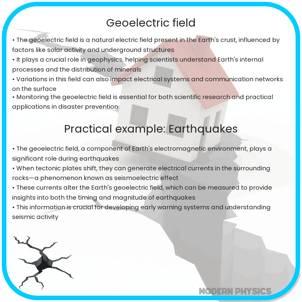
The Earth’s geoelectric field can also play a role in predicting natural disasters such as earthquakes and volcanic eruptions. Before such events, the stress changes in the Earth’s crust can lead to shifts in the geoelectric field, serving as potential precursors to the imminent activity. While this area of research is still developing, there is potential for geoelectric mapping to provide early warnings and mitigate the impact of these destructive events.
In the case of earthquakes, for example, the minute electrical signals generated by the fracturing of rocks could be detected using sensitive instruments. Predictions based on these signals could help in evacuating populations and securing infrastructure, saving lives and minimizing economic losses.
Challenges in Geoelectric Field Studies
Despite the wealth of information that geoelectric studies can provide, there are still challenges to overcome. One of the primary difficulties is the influence of surface noise—electrical signals from human activity such as power lines and other cultural interferences that can obscure natural readings. Advanced filtering techniques and remote measurement locations are often required to obtain accurate data.
Moreover, the complexity of subsurface geology means that interpreting geoelectric data can be challenging. It requires a thorough understanding of geological processes and often relies on the collaboration of geophysicists, geologists, and engineers to decipher the subtleties of the data.
Conclusion
The study of the geoelectric field is a fascinating intersection of physics, geology, and engineering, offering insights into the unseen aspects of our planet. By measuring and interpreting the Earth’s natural electric fields, scientists and engineers can unveil hidden subsurface structures, find valuable resources, monitor environmental conditions, and even potentially predict natural disasters. However, it is not without its complexities and challenges, requiring sophisticated technology and expertise.
As our ability to measure and analyze the geoelectric field advances, so too will our understanding and capabilities in these critical areas of exploration and environmental stewardship. Through continued research and development, geoelectric field studies will undoubtedly play an increasingly important role in shaping our interaction with the Earth’s dynamic systems, illustrating the power of scientific inquiry to reveal the secrets beneath our feet.