
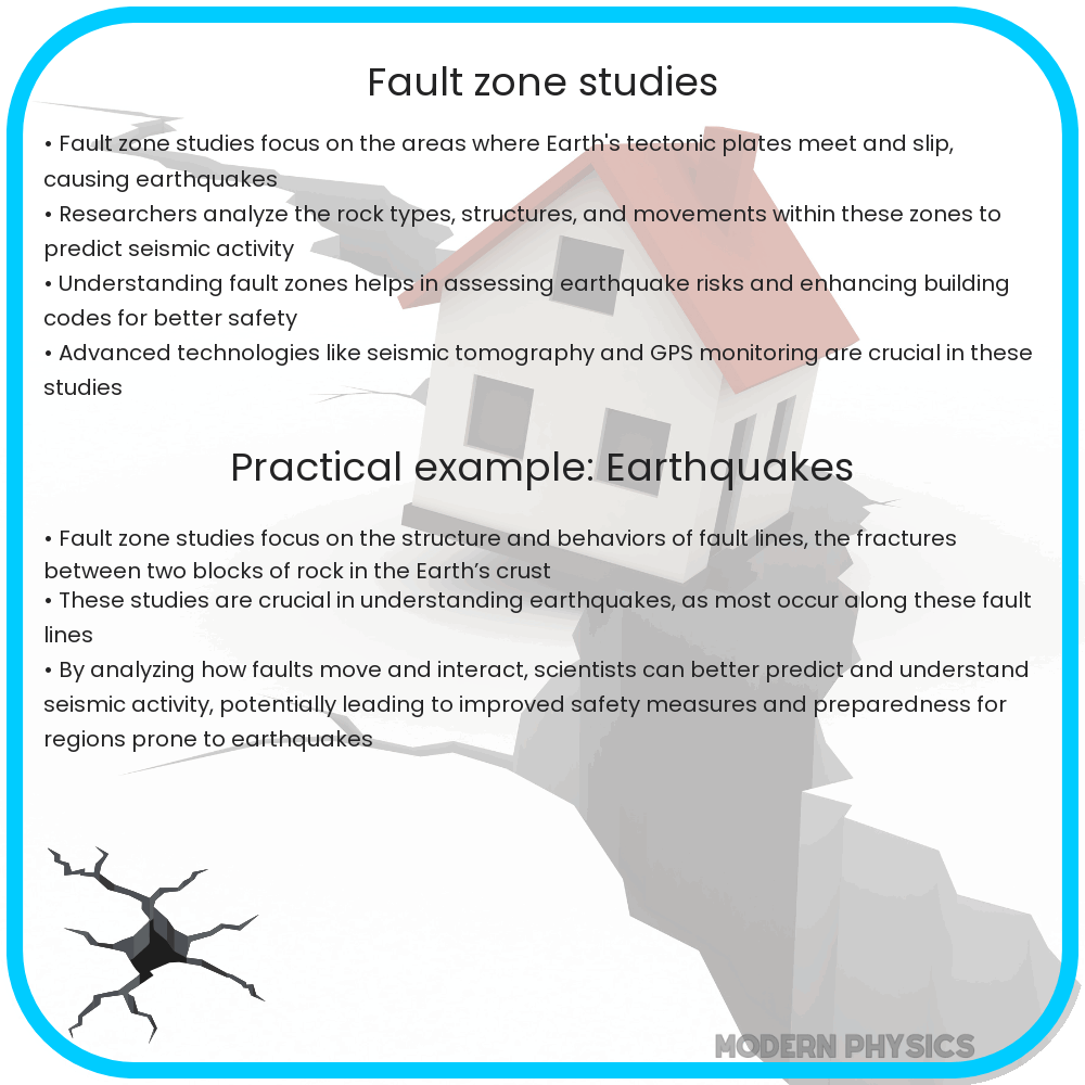
Understanding fault zones: their role in predicting earthquakes, guiding urban planning, and improving disaster preparedness through analysis and monitoring.
Introduction to Fault Zone Studies
Electricity and magnetism are fundamental forces that govern the universe, shaping both the natural world and our daily lives. When it comes to our planet, these forces play a key role in fault zone studies, which are crucial for understanding geological processes such as earthquakes and volcanic activity. Fault zones are regions within the Earth’s crust where the rock has fractured and there is a likelihood of movement along these fractures, potentially leading to seismic events. Understanding fault zones is essential for assessing the associated risks and for the development of strategies to monitor and mitigate the impact of natural disasters.
Importance of Fault Zone Analysis
Fault zone analysis aims to understand the complex behavior of faults, from how they formed to predicting when they might become active. It involves studying the history, structure, and physical properties of the fault. By analyzing fault zone properties, scientists can better estimate the potential for future seismic activity and provide valuable information for urban planning and construction in earthquake-prone regions.
Monitoring Fault Zones
Monitoring fault zones is an ongoing and dynamic process. It typically includes observing various indicators of seismic activity such as ground movement and stress accumulation. Engineers and geologists utilize sophisticated equipment like seismometers, which can record the vibrations in the ground caused by seismic waves. The data gathered by these devices helps in predicting earthquakes and assessing the health of a fault zone over time.
Geophysical Methods in Fault Zone Studies
Geophysical methods are the tools and techniques used to investigate the subsurface properties of fault zones without physical excavation. These non-invasive methods provide valuable information that contributes to our understanding of fault dynamics and aids in the evaluation of seismic hazards.
- Seismic Reflection and Refraction: These methods involve generating and analyzing seismic waves to picture the subsurface structures. By analyzing how these waves travel through the Earth and reflect off its layers, scientists can map geological structures and detect anomalies suggestive of active faults.
- Electrical Resistivity: This method measures how strongly the ground resists electrical current, which can vary greatly in different rock types and if there is groundwater present. This variability can indicate the presence of fault zones.
- Magnetic Surveys: Variations in the Earth’s magnetic field can indicate changes in the subsurface rock types and structures. Magnetic surveys are particularly useful in detecting fault lines, as they can reveal the presence of magnetic minerals often found alongside geological faults.
- Ground Penetrating Radar (GPR): GPR transmits high-frequency radio waves into the ground and detects the reflected signals. Changes in the returned signal can indicate disruptions in the subsurface like faults or fractures.
Each of these geophysical methods contributes a piece to the puzzle of understanding fault zones. By combining data from these various techniques, scientists can create more comprehensive models of fault structure and behavior, leading to better risk assessment and disaster preparedness.
Challenges in Fault Zone Research
Despite advancements in technology, fault zone research presents unique challenges. One of the main difficulties is the unpredictability of natural processes governing fault movement. Earthquakes, for instance, can occur with little to no warning. Additionally, the inaccessible nature of fault zones, often located deep beneath the Earth’s surface, limits direct observation and study. Scientists must rely heavily on indirect methods, like those mentioned above, and the interpretation of these methods can be complex and uncertain.
- Temporal and Spatial Scales: Earthquakes can occur over vastly different time frames and at different depths, making it challenging to capture and analyze the full spectrum of fault behavior.
- Data Integration: Combining data from various sources and methods can be difficult due to discrepancies in scale, resolution, and measurement types.
- Limited Historical Records: The majority of faults do not have long-term records of past activity, which is crucial for predicting future events.
Interdisciplinary Approach and Future Outlook
Encompassing the many facets of fault zone studies requires an interdisciplinary approach that draws on geophysics, geology, engineering, and more. Looking forward, advancements in sensor technology, data processing, and computational power promise to enhance the accuracy of fault monitoring and modeling. Scientists are developing early warning systems that harness artificial intelligence to analyze seismic data in real-time, with the goal of providing faster alerts to communities in the event of an earthquake.
Research into alternative energy sources, such as geothermal energy, also benefits from understanding fault dynamics, since such systems often rely on heat exchange near active geological formations. As society seeks sustainable energy solutions, knowledge of fault zones becomes increasingly relevant.
Conclusion
Fault zone studies are a crucial component of our quest to understand the complex dynamics of the Earth’s crust and to safeguard our communities against natural disasters. Through geophysical methods and dedicated monitoring, scientists are unraveling the secrets of faults and their behavior. While challenges remain in predicting the exact timing and magnitude of seismic events, every piece of information gathered contributes to a larger understanding that can lead to better preparedness and more resilient infrastructure. As technology and interdisciplinary collaborations continue to evolve, our capacity to understand and respond to the risks posed by fault zones will undoubtedly improve, helping us to coexist with our planet’s ever-changing geological tapestry.