
Explore how remote sensing revolutionizes precision surveying and earth analysis, enhancing environmental monitoring, urban planning, and global sustainability efforts.
Introduction to Remote Sensing in Precision Surveying and Earth Analysis
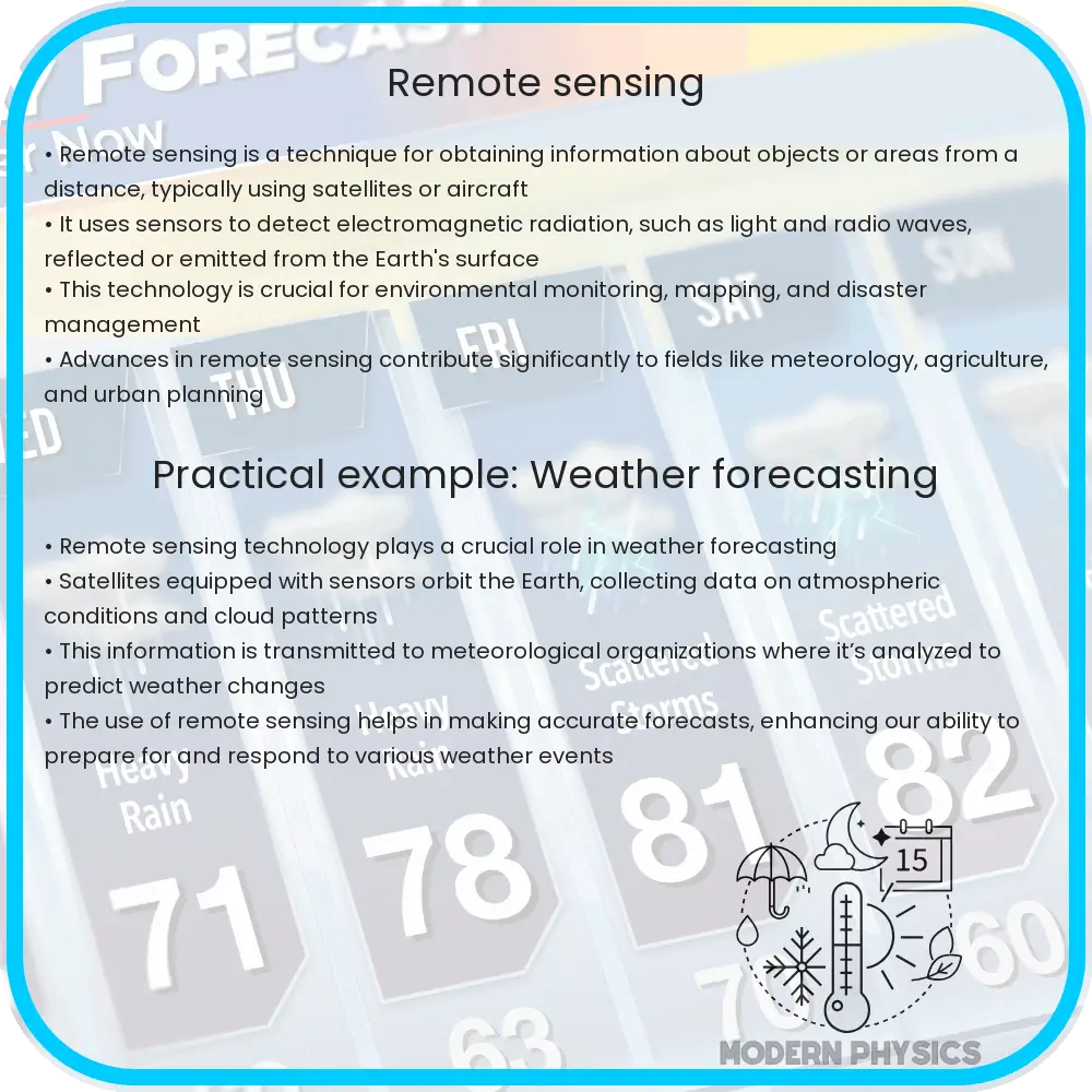
Remote sensing is a pivotal technology in the modern era of precision surveying and earth analysis. It involves the acquisition of information about the Earth’s surface without making physical contact. This is achieved through sensors mounted on aircraft or satellites that capture data across various spectral bands. The information gathered is instrumental in environmental monitoring, urban planning, agriculture, forestry, and disaster management, among other applications.
Key Technologies in Remote Sensing
Remote sensing technology encompasses a range of instruments and techniques. Optical sensors, for instance, capture data in the visible, infrared, and ultraviolet spectrums, providing detailed imagery of the Earth’s surface. Radar systems use microwave signals to penetrate cloud cover and vegetation, offering insights regardless of weather conditions. Lidar (Light Detection and Ranging) emits pulsed laser light to measure variable distances to the Earth, producing precise three-dimensional information about the shape and surface characteristics.
The Role of Precision in Surveying
Precision surveying has greatly benefited from advancements in remote sensing technologies. It enables surveyors to achieve highly accurate land measurements and topographical data. This precision is crucial for constructing maps, planning construction projects, and conducting land division. GPS technology, integrated with remote sensing data, enhances the accuracy of location information, allowing for exact positioning and mapping on a global scale.
Remote Sensing for Earth Analysis
Earth analysis through remote sensing offers invaluable insights into environmental conditions and changes. It enables the monitoring of deforestation, the assessment of water resources, and the evaluation of the impacts of natural disasters. Remote sensing data is also pivotal in climate change studies, providing consistent and comprehensive observations over time. This aids in the modeling of future scenarios and the formulation of mitigation strategies.
The applications of remote sensing in earth analysis extend to agriculture, where it assists in crop monitoring, soil analysis, and management practices. By assessing vegetation health through spectral analysis, farmers can make informed decisions to optimize yields and reduce environmental impacts.
Advancements and Challenges in Remote Sensing
Technological advancements continue to enhance the capabilities of remote sensing. The development of high-resolution satellites and drones offers unprecedented detail and accessibility. Machine learning and artificial intelligence (AI) are being integrated to analyze vast amounts of data more efficiently, enabling the detection of patterns and changes that were previously undetectable. However, these advancements also pose challenges, including the need for improved data storage solutions, privacy concerns, and the requirement for skilled personnel to interpret complex datasets.
Integrating Remote Sensing Data with Geographic Information Systems (GIS)
A critical aspect of maximizing the utility of remote sensing data is its integration with Geographic Information Systems (GIS). GIS provides a framework for gathering, managing, and analyzing spatial data. The combination of GIS and remote sensing enhances the capability to perform comprehensive spatial analyses, including land use and land cover changes, habitat mapping, and urban planning. This integration facilitates better decision-making and policy formulation for sustainable development and environmental protection.
Future Directions in Remote Sensing
The future of remote sensing holds immense potential. With the ongoing miniaturization of sensors and the increasing accessibility of satellite data, remote sensing is becoming more democratized. In the coming years, we can expect greater collaboration between government, academic, and private sectors to leverage remote sensing data for global challenges such as climate change, disaster response, and sustainable development. Moreover, the continuous improvement in sensor technology and analytical techniques will further refine our understanding of the Earth’s processes and resources.
Conclusion
Remote sensing has revolutionized the field of precision surveying and earth analysis, offering a powerful tool for monitoring, analysis, and decision-making. Its integration with technologies such as GPS and GIS has significantly enhanced the accuracy and efficiency of spatial data collection and interpretation. Despite the challenges, the future of remote sensing is bright, with ongoing advancements promising to further expand its applications and capabilities. As we continue to harness the power of remote sensing, it will play a pivotal role in addressing some of the most pressing environmental and societal challenges facing the world today.