
Magnetotelluric stations use Earth’s electromagnetic fields to study its subsurface electrical properties for applications in mineral exploration, earthquake research, and geothermal energy.
Understanding Magnetotelluric Stations
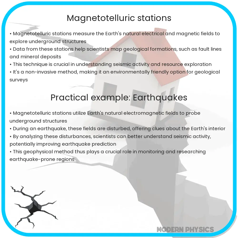
Magnetotelluric (MT) stations are a sophisticated tool in geophysics, leveraging Earth’s natural electromagnetic fields to explore its subsurface electrical properties. By measuring variations in electrical and magnetic fields at the surface over time, these stations provide data that help scientists visualize structures deep within the Earth. The insight gathered from MT stations is invaluable for various applications, including mineral exploration, earthquake research, and studying geothermal energy resources.
Data Accuracy in Magnetotelluric Surveys
The accuracy of data collected by MT stations is crucial for drawing reliable conclusions about geological formations. This data accuracy is influenced by several factors:
- Sensor Quality: Higher quality sensors detect subtle changes in electromagnetic fields, leading to more precise data.
- Signal-to-Noise Ratio (SNR): The presence of ‘noise’—random and unwanted variations in the electromagnetic field—can obscure the underlying signals. Techniques such as signal processing and noise filtering are applied to enhance SNR, yielding clearer results.
- Data Processing Techniques: The methodologies used to interpret raw data can significantly impact the accuracy of the findings. Advanced algorithms and modeling techniques are essential for translating measurements into a useful geological understanding.
Deep Insights Provided by MT Stations
MT stations are not just about collecting data; they open a window to deep Earth processes. By analyzing variations in the electromagnetic fields, these stations can provide insights several kilometers beneath the Earth’s surface. This capability allows geoscientists to:
- Detect the presence of conductive minerals, which can indicate valuable ore deposits.
- Map the distribution and movement of groundwater resources.
- Identify geothermal reservoirs, which are potential sites for sustainable energy production.
- Study tectonic activities, including the processes leading to earthquakes and volcanic eruptions.
Moreover, the depth of investigation depends on the frequency of the electromagnetic waves used; lower frequencies can penetrate deeper into the Earth’s crust, providing a broader overview of its subsurface properties.
Technological Advancements in Magnetotelluric Methods
Technological advancements have significantly bolstered the capabilities of MT stations. Innovations in both hardware, like sensors and data acquisition systems, and software, including data processing and 3D visualization tools, have enhanced the depth, clarity, and utility of the data collected. These developments enable more detailed and accurate imaging of subsurface features, transforming raw data into detailed maps and models of the Earth’s interior.
Moreover, integrated approaches that combine MT data with other geophysical methods such as seismic and gravity surveys provide a more comprehensive understanding of the subsurface, leading to more accurate predictions and assessments of underground conditions.
Challenges in Magnetotelluric Surveys
Despite the advanced capabilities of MT stations, there are still several challenges that impact the efficiency and reliability of surveys:
- Environmental Interference: External factors such as human-made electrical signals and natural geomagnetic variations can interfere with the measurements, complicating the data analysis.
- Logistical Constraints: Setting up MT stations in remote or inaccessible areas poses significant logistical challenges, which can limit the scope of surveys.
- High Cost: The deployment and maintenance of MT stations involve substantial financial investment, which can be a barrier for extensive usage, especially in developing countries.
Future Directions in Magnetotelluric Research
The future of magnetotelluric research looks promising with ongoing advancements in technology and methodology. Researchers are working on:
- Enhancing sensor sensitivity to improve data quality even further in noisy environments.
- Developing more robust algorithms that can efficiently handle large volumes of data and filter out environmental noise more effectively.
- Expanding the integration of MT data with other geophysical and geochemical methods to create a more holistic view of the Earth’s subsurface.
These developments hold the potential to not only refine the existing capabilities of MT stations but also to expand the range of their applicability to new areas such as environmental monitoring and more detailed exploration of marine geology.
Conclusion
Magnetotelluric (MT) stations represent a powerful tool in the field of geophysics, enabling the study of the Earth’s subsurface with a depth and clarity that was previously unattainable. Through the measurement of natural electromagnetic fields, these stations help scientists uncover valuable insights into geological structures, mineral deposits, groundwater movement, and tectonic activities. Despite facing challenges such as environmental interference and high operational costs, the future of MT technology looks bright with continuous improvements in both hardware and software. As researchers forge ahead with innovations in sensor technology and data processing, the scope and accuracy of MT surveys will likely see significant enhancements, expanding their utility in both existing and new applications. This sophistication of MT stations exemplifies the dynamic nature of engineering and science, where ongoing advancements continue to enhance our understanding of the world beneath us.