
Learn about high-resolution seabed imaging, its technology, applications, and the challenges in capturing detailed ocean floor landscapes.
Introduction to High-Resolution Seabed Imaging
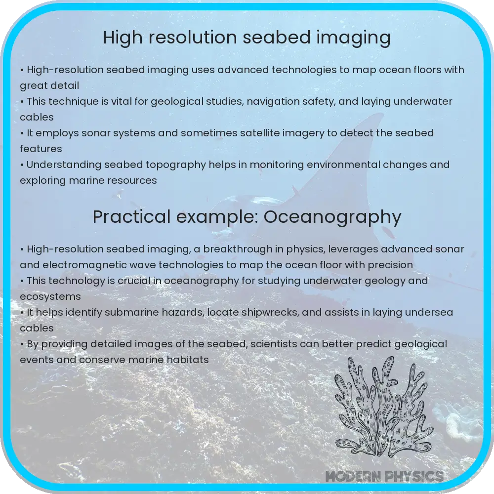
Understanding the complexities of the ocean floor is crucial for a variety of applications—from environmental monitoring and ecosystems protection to underwater infrastructure development and resource extraction. High-resolution seabed imaging plays a vital role in this field by providing detailed and accurate representations of the ocean’s bottom. This technology uses advanced sonar systems and imaging techniques to capture the intricacies of underwater landscapes.
The Technologies Behind High-Resolution Imaging
The core of high-resolution seabed imaging lies in the use of sophisticated sonar equipment. Sonar (Sound Navigation and Ranging) systems work by emitting sound waves and measuring the return echo when these waves bounce off objects, such as the seabed. There are primarily two types of sonar used in seabed imaging:
- Multibeam sonar: Covers a wide area by emitting multiple beams of sound waves, allowing for a wide swath of the seabed to be mapped quickly and in great detail.
- Side-scan sonar: Provides high-resolution, almost photographic quality images of the seabed by emitting sound waves that travel sideways, illuminating the ocean floor and capturing detailed shadows and structures.
These techniques offer distinct advantages in how detail is captured about the ocean floor, with multibeam being more effective for depth measurement and side-scan being superior for detailed imagery of seabed features.
Challenges in Seabed Imaging
While high-resolution seabed imaging provides valuable data, it also encounters several challenges:
- Water Clarity: Suspended particles in water can absorb or scatter sound waves, affecting the accuracy of the returned signals.
- Depth: The deeper the water, the more the sound waves have to travel, which can reduce the strength and clarity of the returned signal. Advanced technologies are required to compensate for these depth-related losses.
- Underwater Terrain: Rugged or complex terrains can result in signal losses and create shadows, impacting the quality of the seabed map.
Despite these challenges, advancements in digital processing techniques and hardware improvements continue to enhance the quality and resolution of seabed imaging systems, thereby providing more accurate and detailed maps than ever before.
Applications of High-Resolution Seabed Imaging
Seabed imaging has a wide array of applications that benefit different sectors:
- Marine Archaeology: Discovering and documenting underwater historical artifacts and shipwrecks.
- Environmental Monitoring: Mapping habitats for conservation efforts and assessing impacts of human activities like dredging and construction.
- Navigation Safety: Providing detailed charts for submarine and shipping activities to avoid underwater hazards.
- Resource Exploration: Identifying and evaluating underwater mineral deposits or biological resources.
The information gathered through high-resolution seabed imaging is instrumental in improving our understanding of the underwater environment, facilitating scientific research, supporting commercial enterprises, and aiding in the preservation of underwater cultural heritage.
Innovations and Future Prospects
The field of high-resolution seabed imaging is continually evolving, driven by breakthroughs in technology and increasing demands for precise underwater data. Innovations such as autonomous underwater vehicles (AUVs) and remotely operated vehicles (ROVs) enable more efficient and less invasive seabed exploration. These vehicles are equipped with advanced sonar systems and cameras, allowing them to navigate challenging underwater environments and transmit data in real-time.
Further, the integration of artificial intelligence (AI) and machine learning techniques is revolutionizing the way seabed images are processed and analyzed. AI algorithms can automatically detect and classify different seabed features, significantly reducing the time and effort required for data analysis. This technology also improves the accuracy of seabed maps, assisting in more effective decision-making processes for environmental protection and resource management.
Looking ahead, the development of more sophisticated sensors and enhancement in data processing capabilities are expected to improve the resolution and accuracy of seabed imaging even further. These advancements could open new possibilities for undiscovered resource identification, deeper underwater exploration, and comprehensive environmental monitoring.
Conclusion
High-resolution seabed imaging is a dynamic and essential field, playing a critical role in underwater exploration and management. By utilizing sophisticated sonar technology and innovative imaging methods, this technique provides invaluable data that supports a variety of important applications. Despite its challenges, continued technological advancements and the integration of new tools like AI are pushing the boundaries of what’s possible under the ocean’s surface.
The information procured through advanced seabed imaging not only helps in navigating and utilizing the underwater world more effectively but also plays a pivotal role in protecting it. Understanding the complexities of the ocean floor continues to inspire new scientific inquiries and technological innovations, marking the seabed imaging as not just a tool for today but a foundation for future marine discoveries and conservation efforts.