
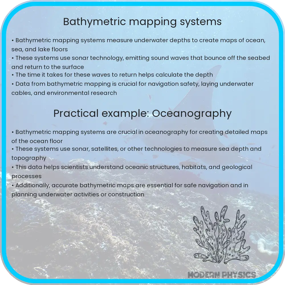
Bathymetric mapping systems measure underwater depths to create detailed maps of ocean floors, aiding in navigation, environmental studies, and resource exploration.
Understanding Bathymetric Mapping Systems
Bathymetric mapping refers to the measurement of the depth of water bodies to create maps of the underwater features. This process not only allows us to understand the topography of the ocean floor but also has important applications in navigation, environmental studies, and even in the exploration of underwater resources. Bathymetric mapping systems use a variety of technologies to achieve detailed and accurate seabed maps. The precision, depth range, and data analysis capabilities of these systems play a crucial role in their effectiveness.
Technologies Used in Bathymetric Mapping
The most common technology used for bathymetric mapping is sonar, which utilises sound waves to detect underwater objects and measure depths. There are two main types of sonar systems used:
- Single-beam sonar: This system sends out a single sound pulse straight down and measures the time it takes for the echo to return. While single-beam sonars are simpler and less expensive, they provide less coverage and lower resolution of the seafloor.
- Multi-beam sonar: These systems emit multiple sound beams simultaneously across a wide area beneath a ship, offering a more complete and detailed picture of the seabed than single-beam systems.
Besides sonar, other technologies such as LiDAR (Light Detection and Ranging) are sometimes employed. Airborne LiDAR bathymetry, for instance, involves using aircraft-mounted lasers to measure sea depth in shallower waters. This method is particularly valuable in coastal areas and can swiftly cover large areas.
Parameters Determining Precision and Depth
The precision of bathymetric maps is influenced by several parameters:
- Frequency of the sonar: Higher frequencies provide higher resolution but have a shorter range, while lower frequencies can travel greater depths but with reduced detail.
- Beam width: Narrower beams can resolve finer features on the seabed, whereas wider beams cover more area but with less detail.
- Sea conditions: Water clarity, temperature, salinity, and the presence of underwater flora and fauna can affect the accuracy of sonar readings.
Moreover, the depth capability of a bathymetric system depends largely on the type of technology used. Multi-beam sonars can typically reach depths of up to several thousand meters, making them suitable for deep-sea mapping. In contrast, LiDAR is more effective at shallower depths, usually up to 40-50 meters, depending on water clarity.
Data Analysis in Bathymetric Mapping
Once data is collected by these bathymetric systems, it undergoes extensive processing and interpretation. The initial step often involves correcting any distortions caused by water movement or other factors. Advanced software is then used to compile the data into usable maps. These digital bathymetric maps can be layered with other geographical data to provide comprehensive views of underwater features, which can be vital for scientific research, commercial interests, or environmental monitoring.
Data analysis also includes the classification of seabed materials and habitats, which helps in environmental and ecological studies. Patterns in seabed morphology can be indicators of various geological processes such as sediment deposition or tectonic activities.
Applications of Bathymetric Maps
Bathymetric maps have a wide range of applications in various fields. For navigational purposes, these maps are crucial for the safe passage of ships, helping to avoid underwater hazards. In environmental science, they are used to monitor changes in the ocean floor that could indicate ecological shifts or the effects of climate change. Furthermore, these maps facilitate the exploration and extraction of underwater resources, such as minerals and fossil fuels, by providing detailed images of potential sites.
In the field of archaeology, bathymetric mapping assists in the discovery and study of submerged ruins and shipwrecks. This provides valuable insights into historical events and ancient maritime activity. Additionally, these maps support marine conservation efforts by identifying vulnerable ecosystems and marine habitats, helping in the planning and management of protected marine areas.
Future Developments in Bathymetric Mapping
Advancements in technology continue to enhance the capabilities and accuracy of bathymetric mapping systems. Future developments are expected to integrate AI and machine learning to further improve the processing and interpretation of underwater data. These innovations could lead to more dynamic and real-time mapping of the ocean floor, significantly impacting various scientific and commercial endeavors.
New materials and technologies may also increase the efficiency of sonar and LiDAR systems, reducing costs and enabling more frequent and detailed surveys. As our understanding and technology evolve, the potential for discovering unknown aspects of the ocean floor expands, opening new frontiers for exploration and study.
Conclusion
Bathymetric mapping is a critical tool in understanding and exploring our planet’s final frontier – the ocean. From aiding in navigation to enhancing our comprehension of oceanic and geological processes, the role of these mappings is indispensable. As technology advances, the precision and applications of bathymetric maps will continue to grow, offering deeper insights and greater opportunities for interaction with our marine environments.
Whether it’s charting undiscovered regions, overseeing maritime safety, or conducting critical environmental research, bathymetric mapping systems have proven their value across multiple disciplines. Embracing and investing in the future of these technologies not only promotes scientific understanding but also supports sustainable interactions with our world’s oceans.