
Learn about Ground Penetrating Radar (GPR), a technology for detecting and mapping subsurface structures without digging.
Understanding Ground Penetrating Radar: An Overview
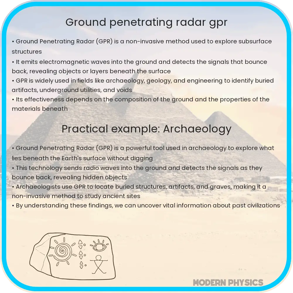
Ground Penetrating Radar (GPR) is a powerful technology used in geophysical surveys to detect and map subsurface structures. By sending electromagnetic waves into the ground and analyzing the signals that bounce back, GPR can create images of the subsurface without any physical excavation. This method is invaluable in various fields, from archaeology to engineering and environmental studies.
How Does Ground Penetrating Radar Work?
GPR systems transmit high-frequency radio waves into the ground through a transmitting antenna. When these waves encounter different buried materials or boundaries between different soil types, some of the energy is reflected back to the surface, where it is captured by a receiving antenna. The time it takes for the radar waves to travel to a boundary and return helps determine the depth at which the boundary is located. The principle is somewhat similar to sonar or echolocation used by bats and dolphins.
Factors Influencing GPR Accuracy and Depth
The effectiveness of GPR is influenced by several factors, primarily the electrical conductivity of the ground, the frequency of the radar waves, and the water content of the soil. Soils with high conductivity, such as clay-rich soils, tend to absorb radar waves more than sandy or rocky soils, limiting the depth of penetration. Meanwhile, the frequency of the radar waves also plays a crucial role:
- High-frequency waves (1 GHz to 2.6 GHz) can detect finer details but have shallower depth penetration.
- Low-frequency waves (100 MHz to 300 MHz) can penetrate deeper but provide lower resolution images.
Thus, the choice of frequency depends on the specific requirements of the survey, balancing between resolution and depth.
Applications of Ground Penetrating Radar
GPR has a wide range of applications in various industries. Some of the most common uses include:
- Archaeology: Locating and mapping archaeological sites without disturbing them.
- Civil Engineering: Inspecting, mapping and assessing the condition of roads, bridges, and buildings.
- Military: Detecting mines and underground tunnels.
- Environmental Studies: Mapping soil contamination and groundwater.
- Utility Location: Detecting buried pipes and wires in urban and suburban areas.
These applications show the versatility of GPR and its ability to provide valuable data across different sectors.
Enhancing GPR Data Interpretation
Interpreting GPR data requires expertise in understanding the signal characteristics and contextual information about the surveyed area. Advanced software tools are often used to enhance the raw data and provide clearer, more detailed images of the subsurface. These tools can filter out noise, improve resolution, and interpret the results to provide actionable insights. Proper interpretation helps in making informed decisions, whether it’s identifying archaeological features, locating underground utilities, or assessing the condition of infrastructure.
Challenges and Limitations of Ground Penetrating Radar
Despite its numerous applications, GPR is not without its challenges and limitations. The primary limitation is related to the types of soils and their conditions. Soils with high metallic content or moisture can significantly reduce the penetration depth of radar waves. Environmental conditions such as rain or snow can also affect the accuracy of GPR surveys. Additionally, the interpretation of GPR data can be complex and requires skilled professionals to distinguish between different types of materials and structures beneath the surface.
Complex subsurface conditions, such as heterogeneous soil layers or closely spaced objects, can lead to signal clutter and make it difficult to interpret the data accurately. Moreover, GPR does not always provide precise information about the material properties of detected objects, which may require corroboration with other methods such as drilling or using complementary geophysical tools.
Future Prospects and Technological Advancements
The future of GPR technology looks promising with ongoing advancements and increasing integration with other geophysical methods. Innovations in GPR technology continue to improve its resolution, depth of penetration, and ease of use. Emerging trends include the development of more portable and user-friendly systems, as well as the integration of artificial intelligence to aid in data analysis and interpretation. These advancements are expected to expand the applicability of GPR in more complex environments and enhance its efficiency and accuracy in existing applications.
Moreover, as interdisciplinary approaches in engineering and geosciences grow, GPR’s role in providing a comprehensive understanding of subsurface conditions becomes even more significant. This integration not only improves data accuracy but also fosters a more holistic approach to exploring and managing the Earth’s subsurface resources.
Conclusion
Ground Penetrating Radar stands as a pivotal tool in the exploration and maintenance of the subsurface, suitable for a variety of applications across multiple industries. From helping archaeologists preserve historical sites to aiding engineers in infrastructure projects, GPR offers a non-invasive, cost-effective, and efficient means of obtaining critical subsurface information. Despite some limitations, such as sensitivity to soil conditions and the requirement for expert interpretation, continuous technological enhancements are amplifying its capabilities.
As we look toward the future, the integration of GPR with other technological innovations promises to unlock even greater potential, making it an indispensable resource in our quest to understand and interact with the world beneath our feet. Whether for scientific discovery, historical preservation, or the advancement of engineering projects, Ground Penetrating Radar’s role is undeniably essential in paving the way for safer and more informed subsurface exploration.