
Learn about Ground Penetrating Radar (GPR), a non-invasive method using radar pulses for subsurface imaging in archaeology, civil engineering, and more.
Introduction to Ground Penetrating Radar (GPR)
Ground Penetrating Radar (GPR), also known as georadar, is a non-invasive geophysical method that uses radar pulses to image the subsurface. This technology is similar to radar used in aircraft navigation, but instead, it is applied to the ground to detect and reflect signals from subsurface structures.
How Georadar Works
The basic principle of GPR is relatively straightforward. A GPR system sends a high-frequency radio signal into the ground. When this signal encounters the boundary between materials with different electrical properties, a portion of the signal is reflected back to the surface. A receiver then captures the reflected signals, and the time they take to return is recorded. Since the speed at which the signal travels is constant in a uniform material, one can calculate the depth of the subsurface feature by the time delay between the emission and reception of the radar pulse.
The depth to which GPR can see depends on the electrical conductivity of the ground, the transmitted frequency of the radar system, and the nature of the geological materials. Typically, the higher the frequency of the radar pulse, the greater the resolution of the image, but the lesser the signal penetration in the ground. Conversely, lower-frequency pulses can penetrate deeper but provide less resolution.
Applications of Georadar in Geophysics
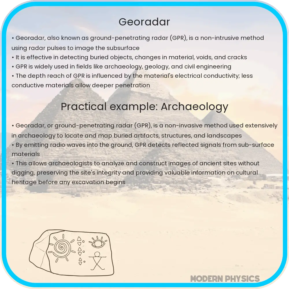
- Archaeology: GPR is used to detect and map subsurface archaeological artifacts, features, and patterning without excavation.
- Civil Engineering: In civil engineering, georadar is applied to detect and map subsurface structures like pipes, cables, and voids in concrete.
- Environmental Studies: GPR can identify and delineate contaminated sites, such as those polluted by hydrocarbons, and assist in the mapping of underground water tables.
- Forensic Investigations: Georadar helps in locating clandestine graves and buried evidence in forensic investigations.
Georadar Data Analysis
The data collected by GPR are processed and interpreted to construct a subsurface image. The signals captured by the GPR system represent a cross-section of the ground and are typically presented as a two-dimensional radargram. These radargrams can then be analyzed using digital signal processing techniques to improve clarity and remove noise, and can sometimes be stacked to create three-dimensional representations of the subsurface environment.
Interpreting GPR data requires understanding the concept of signal wave velocity, which is dependent on the electrical properties of the materials through which the wave travels. The velocity of the electromagnetic wave (v) in a given medium can be determined using the following equation:
\[ v = \frac{c}{\sqrt{\varepsilon_r}} \]
where c is the speed of light in a vacuum (approximately \(3 \times 10^8 m/s\)), and \( \varepsilon_r \) is the relative permittivity (or dielectric constant) of the medium. The depth (d) of an object can be calculated from the travel time (t) of the radar signal:
\[ d = \frac{v \cdot t}{2} \]
It’s crucial to understand that different soils and materials will have varying dielectric constants, which affects both the depth and resolution of GPR data, and thus interpretations can vary widely based on local conditions.
Factors Affecting GPR Performance
To accurately use GPR, one must consider several factors that can impact the system’s effectiveness in different environments. These include:
- Soil moisture content: Wet conditions can greatly reduce the penetration depth of the radar waves, as water has a high relative permittivity.
- Material composition: The presence of metallic objects or minerals can cause strong reflections and scattering of the radar signals, complicating the data analysis.
- Surface roughness: A rough surface can cause signal scattering and loss of signal strength, reducing the quality of data.
- Signal frequency: Selecting the appropriate frequency based on the expected depth and resolution requirements is crucial for obtaining useful data.
Understanding these factors helps users to tailor their approach to each specific situation, improving the chances of obtaining clear and useful subsurface images.
Challenges and Limitations
Despite its versatility, GPR is not without its limitations. Some of the challenges faced by users include:
- Densely packed clay soils can absorb radar waves, leading to poor penetration and reduced data quality.
- Highly saline environments can attenuate the radar signals because of their conductivity.
- The presence of heterogeneous subsurface conditions can make it difficult to interpret the data accurately.
- The equipment can be expensive and sometimes requires expertise to operate effectively and interpret the data.
Even with these limitations, GPR remains a valuable tool in the geophysical toolkit because of its non-destructive nature and ability to provide real-time information about the subsurface.
Conclusion
Ground Penetrating Radar is an advanced, non-invasive technology that plays a crucial role in multiple fields by providing detailed insights into the subsurface. While the principles behind GPR are relatively simple, the real-world application of this technology requires an understanding of the underlying physics and the complex interplay of various environmental factors. By considering the properties of the survey area, choosing the correct frequencies, and expertly interpreting the data, scientists and engineers can use GPR to uncover hidden features without disturbing the Earth’s surface. Despite its challenges, GPR’s ability to scan beneath the surface with precision makes it an indispensable tool for archaeological discoveries, construction projects, environmental assessments, and forensic investigations. Continuing advancements in GPR technology and analysis are likely to further its capabilities and applications, making the unseen world just a little bit more visible.