
Geophysical software is essential for analyzing and modeling Earth’s physical processes, aiding in resource exploration, natural disaster prediction, and environmental studies.
Introduction to Geophysical Software
Geophysical software plays a crucial role in analyzing, mapping, and modeling the Earth’s physical processes. Used primarily by geoscientists, engineers, and researchers, these tools help in understanding complex geological formations, predicting natural disasters, and managing Earth resources effectively. This article explores the fundamentals of geophysical software, shedding light on its applications and methodologies.
Key Applications of Geophysical Software
Geophysical software finds its utility in a myriad of applications, ranging from oil and gas exploration to earthquake seismology. Some of the key applications include:
- Resource Exploration: Tools such as seismic inversion software help in identifying and quantifying underground oil, gas, and mineral resources.
- Environmental Studies: Electromagnetic and gravity survey tools are used to study underground water resources or to detect contaminant plumes in soil.
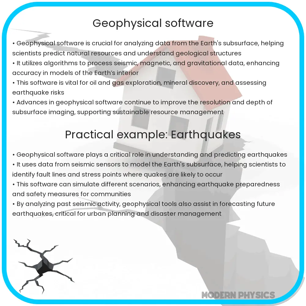
- Natural Hazard Assessment: Software that models seismic activity can assist in understanding and predicting earthquake behavior, potentially saving lives and reducing economic losses.
- Archaeological Investigation: Ground-penetrating radar (GPR) and other geophysical tools can uncover archaeological sites without the need for invasive digging.
Types of Geophysical Software
Geophysical software can be categorized based on the type of geophysical method it utilizes:
- Seismic Software: Used primarily for exploring oil and gas, seismic software processes seismic data to create models of the Earth’s subsurface.
- Magnetic and Electromagnetic Software: Useful in both archaeological and environmental applications, this software type analyzes variations in the Earth’s magnetic field.
- Gravitational Software: Employed to determine subsurface densities by measuring variations in the Earth’s gravitational field, aiding in mineral exploration and geotechnical engineering.
Common Analysis Techniques in Geophysical Software
Analysis techniques in geophysical software typically involve various computational methods that help in processing and interpreting data. Some widely used techniques include:
- Signal Processing: Used to filter and enhance the quality of the raw geophysical data, making it suitable for interpretation.
- Tomography: Involves constructing a 3D image by combining 2D cross-sectional images taken from different angles around a common center.
- Modelling and Simulation: These methods apply mathematical formulas to simulate the physical processes under study, aiding in hypothesis testing and scenario planning.
Data Visualization and Mapping
Effective visualization and mapping are integral to geophysical software, allowing users to see patterns and anomalies that might not be obvious from raw data alone. Tools like Geographic Information Systems (GIS) are commonly integrated with geophysical software to enable detailed mapping and spatial analysis. This integration facilitates better decision-making and enhances the ability to predict and manage geological events.
Accurate mapping and visualization depend on the robustness of data acquisition and processing techniques. As technology advances, geophysical software continues to improve in these areas, offering more detailed and accurate representations of the Earth’s subsurface and atmospheric phenomena.
Challenges in Geophysical Software
Despite its wide-ranging capabilities, geophysical software faces a number of challenges that can affect the accuracy and utility of its results. Key challenges include:
- Data Quality: The precision of geophysical software outputs is heavily dependent on the quality of input data. Issues like noise interference, incomplete data sets, or inaccurate data can lead to erroneous conclusions.
- Complexity of Models: Creating models that accurately reflect the complex interactions within Earth systems is challenging and requires constant refinement and validation.
- Computational Demands: High levels of computational power are necessary to process large volumes of data and to run sophisticated simulation models, which can limit accessibility for smaller organizations or developing countries.
- Interpretation Skills: Highly skilled personnel are required to interpret geophysical data correctly. There’s a steep learning curve associated with these software tools, necessitating significant training and experience.
Future Prospects in Geophysical Software Development
The future of geophysical software looks promising with the integration of more advanced technologies such as artificial intelligence (AI) and machine learning (ML). These technologies are expected to enhance the capabilities of geophysical tools in the following ways:
- Automated Data Processing: AI can help in automating the cleaning, processing, and analysis of large data sets, improving efficiency and accuracy.
- Enhanced Predictive Models: By leveraging machine learning algorithms, future geophysical software could provide more accurate predictions of natural events like earthquakes and volcanic eruptions.
- Better Resource Management: Advanced software could lead to more sustainable management practices for natural resources, balancing both extraction and conservation.
Conclusion
Geophysical software is pivotal in the exploration and management of Earth’s natural resources and in predicting natural hazards. By understanding its key applications, types, and analysis techniques, professionals can utilize these tools to better interpret the Earth’s complex systems. Despite facing challenges related to data quality, model complexity, and computational demands, ongoing advancements in technology promise to improve the effectiveness of geophysical software. This evolution is likely to empower geoscience professionals further, enabling more accurate studies and sustainable decisions regarding Earth’s natural assets.
As geophysical software continues to evolve, embracing these tools and understanding their potent capabilities remain essential for anyone involved in Earth sciences and related fields. The next generation of software will not only enhance data processing and modeling but also contribute significantly to mitigating risks associated with natural disasters, ultimately aiding in the preservation of our planet.