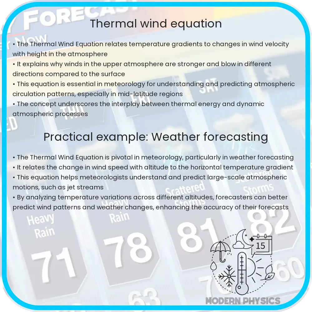
Understanding the Thermal Wind Equation: a key meteorological concept that explains how horizontal temperature differences affect wind patterns and shear in the atmosphere.

Understanding the Thermal Wind Equation in Atmospheric Dynamics
The thermal wind equation is a fundamental concept in meteorology, crucial for understanding how temperature differences in the atmosphere influence wind patterns. This equation does not describe a type of wind per se but rather elucidates the change in wind speed and direction with height, known as wind shear, in response to horizontal temperature gradients. The thermal wind relationship helps meteorologists predict large-scale weather patterns, including jet streams and mid-latitude cyclones.
Fundamental Concepts
Before diving into the thermal wind equation, it is essential to understand some underlying atmospheric dynamics concepts such as the geostrophic wind and hydrostatic balance:
- Geostrophic Wind: This is a theoretical wind that results from a balance between the Coriolis force and the horizontal pressure gradient force. It flows parallel to isobars (lines of constant pressure) at a constant speed.
- Hydrostatic Balance: It is the balance between the vertical pressure gradient force and gravitational force. This principle implies that changes in pressure with height are related to changes in density and temperature.
Derivation of the Thermal Wind Equation
The thermal wind equation can be derived from the geostrophic wind balance and the hydrostatic equation. Assuming a basic state where the wind is purely geostrophic and the atmosphere is in hydrostatic balance, the thermal wind equation relates the vertical shear of the geostrophic wind to the horizontal temperature gradient.
The fundamental equation can be expressed as:
\[ v_g = \frac{-1}{fρ} \left( \frac{∂P}{∂x} \hat{j} – \frac{∂P}{∂y} \hat{i} \right) \]
Where \( v_g \) represents the geostrophic wind vector, \( f \) is the Coriolis parameter, \( ρ \) is the air density, \( P \) is the pressure, \( ∂P/∂x \) and \( ∂P/∂y \) are the partial derivatives of pressure with respect to the x and y coordinates, respectively, and \( \hat{i} \) and \( \hat{j} \) are unit vectors in the x and y directions.
By considering the temperature dependence on pressure through the hydrostatic equation, we can rewrite the pressure gradient terms in terms of temperature. This ultimately leads to:
\[ \frac{∂v_g}{∂z} = \frac{g}{f} \left( \frac{∂T}{∂y} \hat{i} – \frac{∂T}{∂x} \hat{j} \right) \]
Here, \( \frac{∂v_g}{∂z} \) is the vertical derivative of the geostrophic wind, \( g \) is the acceleration due to gravity, and \( ∂T/∂x \) and \( ∂T/∂y \) are the temperature gradients in the horizontal directions. This derivation shows that the change in wind speed and direction with altitude is directly linked to how the temperature changes from one place to another horizontally.
Understanding and applying the thermal wind equation allows meteorologists to discern crucial aspects of the atmospheric motion that are critical for weather forecasting and climate studies. By analyzing temperature gradients and wind shear, predictions about weather patterns become more accurate, aiding in the effective preparation and response to weather-related events.
Applications of the Thermal Wind Equation
The practical applications of the thermal wind equation are extensive in meteorology, particularly in the forecasting of significant weather phenomena:
- Jet Streams: These are relatively narrow bands of strong wind in the upper levels of the atmosphere. The thermal wind equation is crucial for understanding their formation and behavior, which in turn influences flight routes and durations, as well as weather systems.
- Development of Cyclones: By analyzing the vertical shear and horizontal temperature distribution with the thermal wind equation, meteorologists can better predict the intensification or weakening of cyclones, essential for effective storm warnings.
Challenges and Limitations
While the thermal wind equation is a powerful tool in atmospheric science, it has its limitations:
- Assumes a Balanced State: The equation relies on the assumption that the atmosphere is in geostrophic and hydrostatic balance, which might not always be the case, particularly near strong weather systems like cyclones and fronts.
- Complex Calculations: Calculating the thermal wind requires accurate data on temperature and wind, which can be hard to obtain consistently over large geographic areas.
Conclusion
The thermal wind equation is more than just a theoretical construct; it’s an essential part of the toolkit for meteorologists and researchers trying to understand and predict atmospheric phenomena. By connecting temperature differences across the atmosphere to changes in wind patterns with altitude, this equation helps shed light on complex dynamics that affect weather on a global scale.
Despite its challenges and limitations, the thermal wind equation provides remarkable insights into large-scale atmospheric motions. Accurate application and ongoing refinement of this tool are essential for advancing our understanding of weather patterns and improving forecasts, contributing significantly to natural disaster preparedness and environmental science.
As we continue refining meteorological tools and techniques, integrating advances in technology and data analysis, the scope of understanding and the accuracy of predictions provided by models like the thermal wind equation will only improve, underlining the importance of foundational atmospheric science in our everyday lives.
