
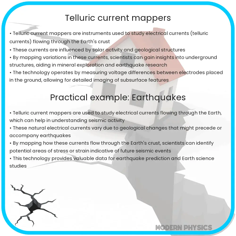
Telluric Current Mappers are specialized instruments used to measure low-frequency geological currents in the Earth to aid in mineral and oil exploration, and earthquake research.
Understanding Telluric Current Mappers
Telluric currents, often unseen yet integral to our understanding of Earth’s subsurface electrical properties, flow through the ground influenced by both natural geomagnetic variations and, in certain cases, by man-made sources. Scientists use devices known as Telluric Current Mappers to study these low-frequency geological phenomena. These tools are essential in geophysical surveys aimed at exploring mineral resources, oil and gas exploration, and even in earthquake research. Here, we’ll delve into the precision of these instruments, how they map the earth’s telluric currents, and the pivotal data they provide.
Precision of Telluric Current Mappers
The precision of Telluric Current Mappers is paramount, given the subtle nature of telluric currents. These currents are generally weak, often just a few microamperes per square meter, so the equipment used to measure them must be highly sensitive and accurate. Modern mappers use sophisticated technologies such as advanced voltmeters capable of detecting minute voltage differences induced by these currents. The precision is also enhanced by integrating GPS technology, which ensures that the measurements are accurately linked to specific geographic locations.
Mapping Techniques
Mapping telluric currents involves several complex steps. Firstly, a network of electrodes is arranged in specific patterns on the ground surface. These electrodes measure the natural electrical potential differences created by the telluric currents. The arrangement and the distance between electrodes can vary, depending on the depth and resolution of the data required. Common configurations include:
- Wenner Array: Equally spaced electrodes that provide good data resolution over shallow depths.
- Schlumberger Array: This uses unequally spaced electrodes to gather data over deeper sub-surface layers.
After setting up the electrodes, measurements are taken continuously over several hours or days to capture variations in the current flow, which can be due to daily or seasonal geomagnetic fluctuations. These readings are then processed using specialized software to create a detailed map of the telluric current flow beneath the surface.
Data Interpretation and Applications
The data collected by Telluric Current Mappers are not merely numbers; they tell a story about the Earth’s subsurface properties. The variations in telluric currents help scientists identify zones with different electrical conductivities, which could indicate the presence of various minerals or fluids. Applications of this data include:
- Mineral Exploration: Identifying areas rich in conductive minerals such as copper and gold.
- Oil and Gas Exploration: Mapping potential hydrocarbon reservoirs based on conductivity anomalies.
- Earthquake Research: Understanding the electrical properties of fault zones which might help in predicting seismic activities.
Moreover, the continuous monitoring of telluric currents can also be used to study changes in the Earth’s magnetic field, offering insights into broader geological processes.
Challenges and Future Directions
Despite the high precision and valuable insights provided by Telluric Current Mappers, there are challenges that limit their effectiveness. One major issue is the presence of cultural noise such as power lines, urban infrastructure, and other electronic devices, which can distort the telluric signals. Engineers and scientists continually work on improving the algorithms that filter out these interferences. Additionally, the physical deployment of the electrodes in difficult terrains and the maintenance of these devices in harsh environmental conditions poses logistical challenges.
Looking ahead, the future of Telluric Current Mapping lies in technological enhancements. Innovations such as drone technology for placing electrodes in inaccessible areas, or the use of artificial intelligence to better analyze the vast amounts of data collected, are likely to revolutionize this field. Moreover, collaboration between global geological organizations can aid in creating a more detailed and accessible global database of the Earth’s subsurface electrical properties.
Conclusion
Telluric Current Mappers play a crucial role in our quest to understand the unseen parts of the Earth’s structure. With their ability to detect subtle variations in subsurface currents, these devices provide essential data that aids in natural resource exploration, geological research, and environmental studies. Although challenges in data accuracy and device deployment persist, ongoing advancements in technology and methods continue to enhance the effectiveness of these mappers. As we move forward, the integration of more sophisticated technologies and international collaboration will undoubtedly unlock further potentials of telluric current mapping, contributing significantly to our geological knowledge and resource management strategies.