
Innovative landslide monitoring systems enhanced by advancements in physics and geophysics, crucial for predicting and managing landslides effectively.
Landslide Monitoring Systems: Precision, Safety, and Geophysics
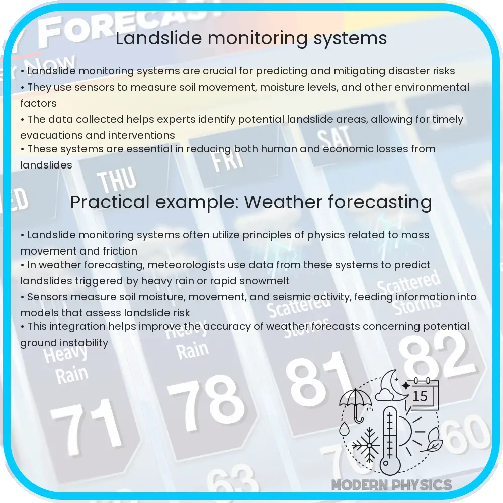
Landslides are natural disasters that can have devastating effects on communities, infrastructure, and economies around the world. Monitoring these events is crucial for mitigating risks and enhancing public safety. Advancements in physics and geophysics have paved the way for the development of innovative landslide monitoring systems that offer precision and reliability. In this article, we explore how these systems work and why they are essential for managing and predicting landslides.
The Role of Physics in Understanding Landslides
At its core, the study of landslides hinges on understanding the physics of motion and the behavior of materials under stress. Landslides occur when the force of gravity acting on a sloped surface overcomes the frictional force holding the soil or rock in place. The equation that generally represents this balance is given by:
Fgravity = Ffriction
Here, Fgravity is the component of gravitational force pulling the material downslope, and Ffriction is the resistance against sliding provided by the material itself. Monitoring these forces helps in predicting when and where a landslide might occur.
Geophysical Techniques in Landslide Monitoring
Geophysical methods are vital in studying and monitoring landslides. These techniques do not disturb the slope and allow for a continuous assessment of subsurface conditions and hydrological changes, which are critical in understanding landslide triggers. Some common geophysical methods used include:
- Seismic Refraction: This technique uses the propagation of seismic waves to detect subsurface structures and their physical properties. Changes in the speed of these waves can indicate potential weaknesses in the slope.
- Ground Penetrating Radar (GPR): GPR emits radio waves into the ground and analyzes the reflected signals to create images of the subsurface. This can reveal hidden layers, voids, or water accumulation that may precipitate a landslide.
- Electrical Resistivity Tomography (ERT): By measuring the electrical resistance of the soil or rock, ERT can illustrate the moisture content and the distribution of porous materials, both key factors in landslide assessment.
Advanced Monitoring Technologies
Emerging technologies have significantly enhanced the precision and effectiveness of landslide monitoring systems. Some of these include:
- Satellite Imagery and Remote Sensing: High-resolution satellite images and remote sensing technologies can be used to keep an eye on land deformations over time, allowing for early detection of anomalies that could lead to landslides.
- Real-time GPS: GPS instruments placed along slopes monitor minute movements in the Earth’s surface, providing real-time data that can be critical for issuing timely warnings.
- Wireless Sensor Networks: These networks consist of multiple sensor nodes distributed across landslide-prone areas, which collect data continuously and send it wirelessly for analysis, enabling a proactive approach to disaster management.
These technologies not only provide critical data that help in early warning systems but also aid in the long-term management and research of landslide-prone areas. By integrating various monitoring techniques, researchers can gain a comprehensive understanding of the conditions that lead to landslides, contributing significantly to community safety and resilience.
The Impact of Real-time Data in Landslide Prediction
The utilization of real-time data through advanced monitoring technologies offers an unprecedented advantage in predicting landslides accurately and swiftly. Real-time data helps in creating dynamic models that simulate various scenarios under different conditions. As the data updates, the models adjust, providing forecasts and early warnings with greater accuracy. This predictive capability is essential for emergency response teams, enabling them to plan and execute evacuation strategies effectively, thereby saving lives and reducing property damage.
Community Involvement and Education
While technology plays a crucial role in monitoring and predicting landslides, community awareness and involvement are equally vital. Educating communities living in landslide-prone areas about the signs of potential landslides and the correct actions to take can significantly mitigate the impact. Programs that focus on community training and workshops about landslide risks and emergency preparedness can empower individuals, leading to quicker responses and lesser reliance on external help during emergencies.
Conclusion
Landslide monitoring systems embody the remarkable intersection of geophysics, engineering, and technology, showcasing how advanced scientific knowledge can be applied to safeguard lives and assets. The integration of physics in understanding the mechanics of landslides, coupled with sophisticated geophysical techniques and real-time monitoring technologies, has dramatically improved our capability to predict and manage these natural disasters. As technology advances further, the precision and effectiveness of these monitoring systems are expected to enhance, offering even more robust tools for disaster management and prevention. Through community engagement and continuous research, the journey towards achieving zero casualties in landslide incidents looks more promising than ever. By embracing both innovative technologies and educational initiatives, societies worldwide are better equipped to face the challenges posed by landslides.
In summary, the synergy of cutting-edge technology, informed community participation, and ongoing scientific research is instrumental in forging a proactive approach to landslide management. This holistic strategy not only reduces the direct impact of landslides but also strengthens the resilience and readiness of vulnerable communities across the globe.