
Explore the transformative role of GPS technology in navigation and Earth sciences, emphasizing its accuracy, mapping capabilities, and scientific applications.
Understanding GPS Instruments and Their Impact in Modern Science
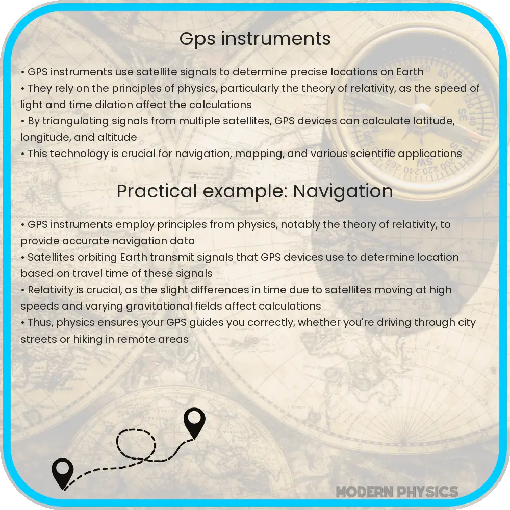
Global Positioning System (GPS) technology has revolutionized the way we navigate the Earth. This sophisticated technology is not only critical for navigation in cars and smartphones but also plays a crucial role in various scientific applications, particularly in Earth science disciplines. By understanding the principles of accuracy, mapping, and application in Earth sciences, we can appreciate how GPS instruments have become indispensable tools in our modern world.
Accuracy of GPS Instruments
The accuracy of GPS instruments is paramount in applications where precision is critical. GPS devices pinpoint their location by receiving signals from satellites orbiting the Earth. Depending on several factors, including signal blockage, atmospheric conditions, and the quality of the receiver, the accuracy of GPS can vary. The standard accuracy for civilian use typically falls within a few meters, but can be enhanced with techniques like Differential GPS (DGPS) or Real-Time Kinematic (RTK) positioning. These techniques can improve accuracy to within a few centimeters.
GPS Mapping
GPS mapping is the process of using GPS data to create detailed maps of the Earth’s surface. This is accomplished by compiling data collected from multiple GPS receivers and using it to delineate geographical boundaries, plot terrain features, and create three-dimensional maps. GPS mapping has applications in urban planning, disaster management, and environmental monitoring, streamlining processes that once took months or even years to complete with traditional surveying methods.
Applications in Earth Science
- Plate Tectonics: GPS instruments are fundamental in the study of plate tectonics by measuring the slow movement of the Earth’s crust. This information helps scientists predict volcanic eruptions and earthquakes more accurately.
- Atmospheric Studies: GPS signals are used to derive data about the Earth’s atmosphere, including the ionosphere and troposphere contents. This data is invaluable for climatology studies and improving weather prediction models.
- Hydrology: The precision of GPS measurements allows for the effective monitoring of water cycles, including tracking river movements, measuring sea level rise, and precise forecasting of flood events.
Ultimately, the advent of GPS technology has provided tools not only for precision mapping and navigation but also for broad scientific analysis and capabilities that reach into the core workings of our planet. Through continued advancements and adaptations, GPS continues to contribute to our scientific understanding in ways that were once unimaginable.
Future Prospects of GPS Technology
As technology continues to advance, the future prospects of GPS are both expansive and promising. Researchers are constantly exploring ways to further decrease the margin of error in GPS accuracy and to integrate GPS technology with emerging technologies like the Internet of Things (IoT) and autonomous vehicles. For instance, enhancing GPS systems in drones can improve their efficiency in smart agriculture, wildlife monitoring, and emergency response operations.
Moreover, the future integration of GPS with 5G networks is poised to create faster, more reliable real-time data transmission, opening new possibilities for both commercial and scientific applications. These advancements could lead to enhanced geolocation capabilities that will revolutionize industries ranging from logistics to public safety.
Public Perception and Education on GPS Technology
The public’s understanding of GPS technology often doesn’t extend much beyond its application in navigation. Education on how GPS works and its scientific applications is crucial for broadening the public’s perception and appreciation of this technology. By familiarizing more people with how GPS technologies contribute to scientific research and daily conveniences, they become more appreciative and likely to support advancements in this field.
Initiatives that promote STEM education and incorporate practical demonstrations of GPS technology could inspire future generations to pursue careers in science and engineering, further advancing the field and its applications.
Conclusion
The role of GPS in modern science stretches well beyond mere location tracking. From aiding in disaster relief efforts to enhancing the accuracy of scientific research, GPS has proven to be a pivotal component in the advancement of our understanding of the natural world. The ongoing improvements in GPS technology promise even greater precision and a broader array of applications, marking a future where our interaction with space and terrestrial phenomena becomes even more interconnected. The continuous adoption and enhancement of GPS technology not only enrich our daily lives but also empower scientists across the globe to answer complex questions about our planet’s past, present, and future.
Through the collective support for technological advances and education about GPS, society can maximize the benefits this technology brings to our world, ensuring it continues to be a cornerstone of scientific and technological progress.