
Geopotential height measures vertical distance above sea level, adjusted for Earth’s gravitational variations, essential in meteorology and climatology.
Understanding Geopotential Height and Its Applications
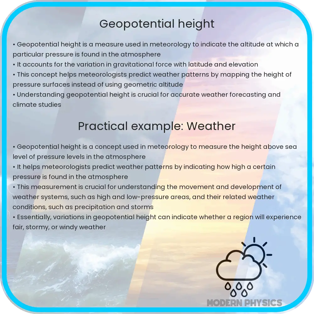
Geopotential height is a crucial concept in the fields of meteorology and climatology, helping scientists and researchers decipher and forecast weather patterns. By understanding how it relates to forecasting, climate, and altitude, we can better appreciate the complexity and interaction of Earth’s atmospheric processes.
What is Geopotential Height?
Geopotential height refers to the vertical distance above sea level, adjusted for the variation in Earth’s gravitational field. Unlike geometric height, which measures straight-line distance above sea level, geopotential height considers the force of gravity and its influence on the atmosphere. The measurement is expressed in geopotential meters, which, though slightly different from physical meters, provides a more accurate representation of atmospheric energy states.
One of the formulas to explain geopotential height is given by:
Z = H * (1 + 2 * (a / (Er + H)) / (1 – e2))
Where:
- Z is the geopotential height,
- H is the geometric height,
- a is the Earth’s equatorial radius,
- Er is the reference ellipsoid,
- e2 is the eccentricity of the ellipsoid squared.
Geopotential Height in Weather Forecasting
In meteorology, geopotential height is primarily used to understand the behavior of atmospheric pressure systems at different altitudes. Weather balloons, satellites, and other observational tools measure the geopotential height to construct pressure levels or isobaric maps. These maps are essential for predicting the movement of high and low-pressure systems, which are pivotal in forecasting weather conditions.
The geopotential height data helps in identifying jet streams—narrow bands of strong winds in the upper levels of the atmosphere. These streams significantly influence local weather patterns and are integral to understanding and predicting meteorological changes.
Connection between Geopotential Height, Climate, and Altitude
Geopotential height also plays a significant role in studying and modeling climate systems. Variations in geopotential heights are linked to broad climate phenomena such as El Niño and La Niña, which have extensive effects on global weather. For instance, higher than normal geopotential heights in certain areas might indicate warmer temperatures and drier conditions.
Altitude is another critical aspect affected by and affecting geopotential height. The distribution of geopotential heights is influenced by the topography of the Earth’s surface. Mountains, valleys, and plains all affect local and regional atmospheric conditions, crafting unique weather patterns dictated by their geopotential height profiles.
Practical Implications of Geopotential Height
Understanding geopotential height is not only theoretical but has practical implications in various fields. For instance, in aviation, pilots use information about geopotential height to optimize flight paths. By navigating through areas with favorable winds and atmospheric pressure, fuel efficiency is enhanced, leading to more economical and environmentally friendly flights.
Similarly, in the field of renewable energy, particularly wind energy, geopotential height data assists in determining the most productive locations for wind farms. Since wind patterns are influenced significantly by the distribution of geopotential heights, strategically placing turbines in locations with optimal wind conditions can maximize energy production.
How Geopotential Height Supports Environmental Science
Environmental scientists also benefit from studying geopotential height. It aids in understanding the transport and dispersion of atmospheric pollutants, which is crucial for creating effective environmental protection measures. Geopotential height information helps track the pathways of airborne pollutants, predicting their movement and concentration, and thus allowing for timely interventions to mitigate air quality issues.
Additionally, researchers studying global warming and climate change rely on historical geopotential height data to model changes in the atmosphere’s behavior over time. This data is pivotal in predicting future climate conditions and assessing human impact on the environment.
Conclusion
Geopotential height is a complex but fascinating element of Earth’s atmospheric science. It bridges the gap between understanding basic atmospheric conditions and applying this knowledge in practical scenarios which affect everyday life and global processes. Whether it’s optimizing flight paths, placing wind turbines, managing environmental quality, or predicting climate change, the applications of geopotential height illustrate the interconnectedness of natural forces and human activities.
The study of geopotential height not only enhances our understanding of the atmosphere but also empowers various industries to operate more efficiently and sustainably. With the ongoing advances in technology and data collection, our grasp of geopotential height and its applications is likely to deepen, unveiling new insights and possibilities across multiple disciplines.