
Understand the pivotal role and advancements of geodetic satellite observations in precise global positioning and Earth science.
Introduction to Geodetic Satellite Observations
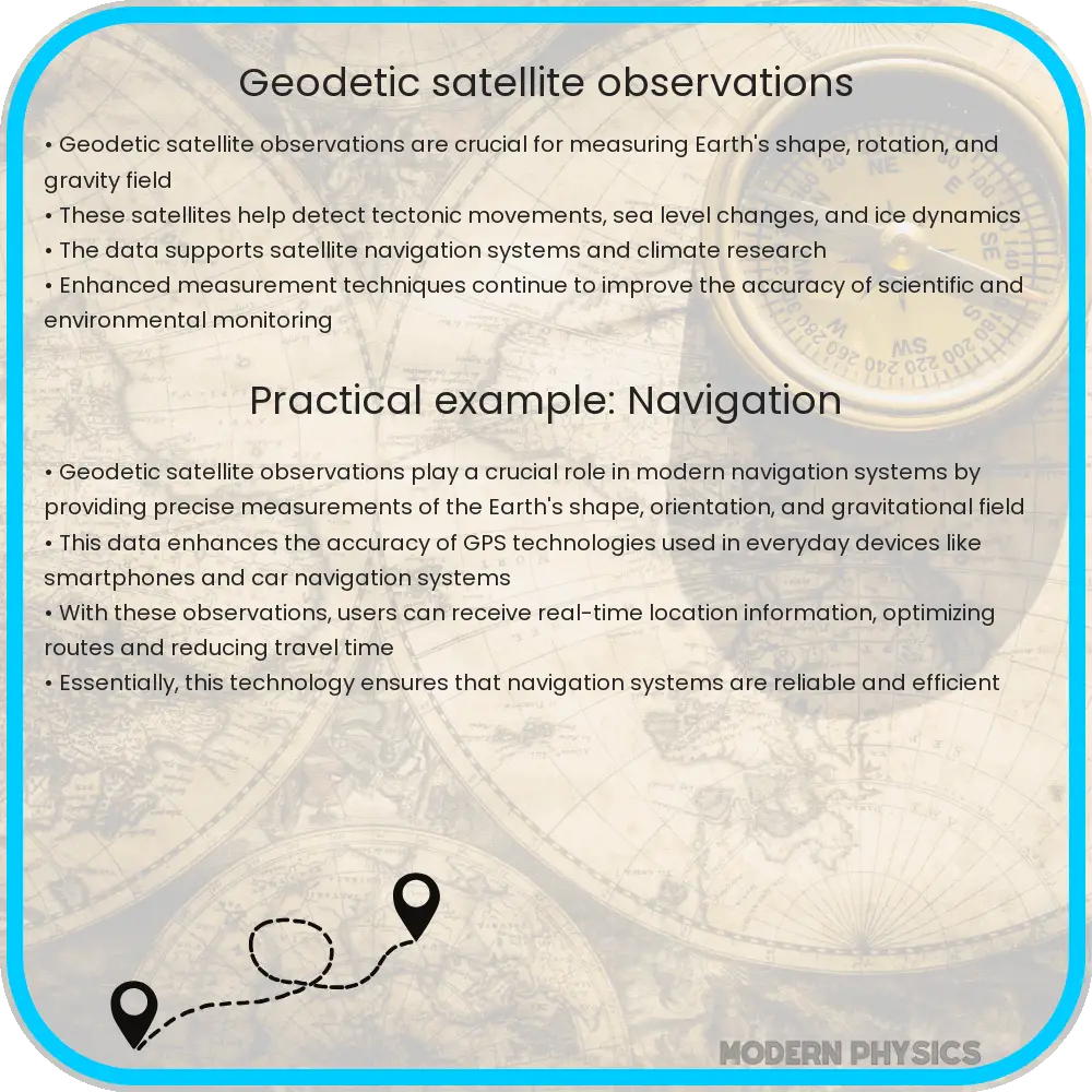
Geodetic satellite observations have revolutionized our understanding of the Earth’s shape, orientation in space, and its gravity field. These observations are integral for precise positioning and navigation, studying Earth’s dynamics, and managing natural resources. This article explores the precision, evolution, and global impact of these technologies.
Precision of Geodetic Satellite Observations
One of the primary aspects of geodetic satellite observations is their precision. Modern satellites leverage advanced technologies like Global Positioning System (GPS) and interferometric synthetic aperture radar (InSAR) to provide data with remarkable accuracy. For example, GPS satellites can determine positions to within a few centimeters. This level of precision is crucial for applications requiring exact coordinates, such as land surveying, aircraft navigation, and military operations.
Evolution of Geodetic Satellite Technologies
Geodetic satellite technologies have seen substantial advances since the launch of the first artificial satellite in 1957. Early satellite geodesy relied on optical and radio techniques to measure the Earth’s position and features. The launch of GPS satellites in the 1980s marked a significant evolution, providing continuous, highly accurate, three-dimensional positioning data globally.
Since then, the introduction of satellites equipped with radar altimetry and laser ranging has further enhanced our capabilities. These technologies allow scientists to measure sea level elevation, tectonic plate movements, and even changes in the Earth’s crust. Today’s geodetic satellites, such as those from the Gravity Recovery and Climate Experiment (GRACE) mission, can measure variations in Earth’s gravity field with unprecedented precision.
Impact of Geodetic Satellite Observations on Global Activities
Geodetic satellite observations impact various sectors including disaster management, environmental monitoring, and global security. In disaster management, these satellites provide critical data for earthquake prediction, tsunami modeling, and flood risk assessment. When it comes to environmental monitoring, they offer vital information on glacier retreats, water table levels, and forest decline.
The role of geodetic observations in law enforcement and global security is equally significant. Enhanced GPS technologies enable authorities to track vehicular movements strictly, contributing to border security and antiterrorism efforts. Improved satellite communications have also enhanced the operational capacities of international law enforcement agencies.
- Global Positioning System (GPS)
- Interferometric Synthetic Aperture Radar (InSAR)
- Radar Altimetry
- Laser Ranging
- Gravity Recovery and Climate Experiment (GRACE)
Future Prospects in Geodetic Satellite Observations
The future of geodetic satellite observations looks promising with advances in technology and increased collaboration among international space agencies. Upcoming missions aim to enhance the accuracy of Earth observation data and extend the boundaries of what we can monitor and predict. Projects such as the European Space Agency’s (ESA) Sentinel missions are expected to improve the monitoring of climate change effects and support sustainable development initiatives globally.
Moreover, the integration of Artificial Intelligence (AI) and machine learning with satellite data is opening new frontiers in data analysis. This integration can lead to more precise predictions of natural disasters, better management of resources, and improved understanding of environmental and climatic changes.
Challenges and Considerations
Despite the numerous advancements, geodetic satellite observations face several challenges. Issues such as data privacy, signal interference, and orbital debris pose significant risks to satellite integrity and data accuracy. Additionally, the high cost of launching and maintaining satellite missions necessitates substantial financial investment, often requiring international cooperation.
Furthermore, there is a continuous need for technological improvement to overcome limitations such as cloud cover interference in radar observations and the limitations posed by the Earth’s atmosphere on laser ranging accuracy. Addressing these challenges will be crucial for the continued advancement and reliability of geodetic satellite technologies.
Conclusion
Geodetic satellite observations have become an indispensable tool in modern science and global operations. From revolutionizing navigation systems to providing critical data for environmental monitoring and disaster management, these technologies play a pivotal role in various sectors. The precision and evolution of these satellites highlight the tremendous strides made since the first satellite launch in 1957.
As we look to the future, the ongoing developments and potential integrations of AI and machine learning promise to further enhance the capabilities of geodetic satellites, making them even more integral to our understanding of and interaction with our planet. For scientists, engineers, and policymakers, embracing these advancements while addressing the emerging challenges will be key to leveraging the full potential of geodetic observations for the betterment of society and the environment.