
Learn how Doppler radar utilizes the Doppler effect to measure storm velocity, aiding in accurate storm tracking and public safety.
Understanding Doppler Radars: Unlocking the Secrets of Storm Tracking
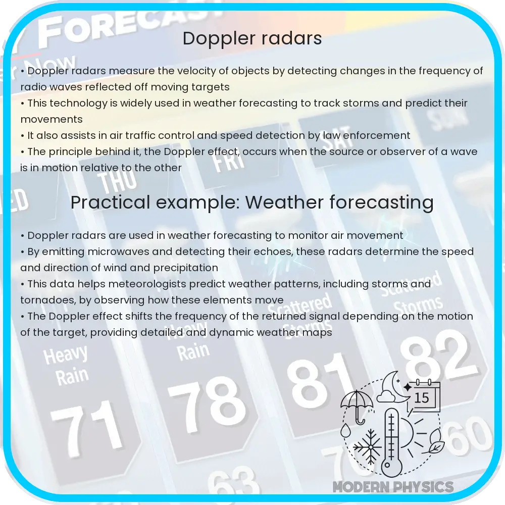
Doppler radar has become an essential tool in meteorology, especially for tracking storms and ensuring public safety. The technology is based on the Doppler effect, which refers to the change in frequency or wavelength of a wave in relation to an observer who is moving relative to the wave source. In the context of a weather radar, it’s used to measure the velocity of objects, such as raindrops, within a storm.
How Does Doppler Radar Work?
Doppler radar sends out a beam of energy that strikes objects in the atmosphere, such as rain, hail, or even birds, and reflects back to the radar system. The radar is capable of determining the velocity of these particles by examining changes in the frequency of the returned signal. If the object is moving toward the radar, the frequency of the returned signal increases; if the object is moving away, the frequency decreases. This principle is expressed through the Doppler equation:
f’ = f * (c + vr) / (c – vs)
Where:
- f’ is the observed frequency.
- f is the emitted frequency of the radar.
- c is the speed of light.
- vr is the velocity of the radar relative to the medium.
- vs is the velocity of the source relative to the medium.
By analyzing changes in frequency, meteorologists can determine not just the direction but also the speed of the movement of precipitation. This information is crucial for predicting storm paths and potential severe weather events like tornadoes or hurricanes.
Accuracy of Doppler Radar
The accuracy of Doppler radar depends on several factors, including the wavelength of microwaves emitted by the radar and the sophistication of the signal processing algorithms used. One key advantage of Doppler radar over traditional radar is its ability to detect motion directly, which results in more accurate data on storm dynamics and development.
Typically, Doppler radars operate at S-band or C-band frequencies. S-band radars, operating at a wavelength of around 10 cm, are less affected by attenuation and are suitable for long-range weather observation. C-band radars, with a wavelength about 5 cm, provide more detailed information but can suffer more from attenuation, especially in heavy rain conditions.
Nonetheless, both types of Doppler radars are instrumental in providing real-time data which is critical during severe weather conditions. The data helps in issuing timely warnings that can save lives and prevent property damage.
Storm Tracking and Safety
Doppler radar systems play a crucial role not only in detecting and tracking storms but also in enhancing public safety. Their ability to scan several hundred kilometers in every direction makes them invaluable in early detection of potentially dangerous weather phenomena. Real-time tracking allows for more precise monitoring of storm development, giving meteorologists the tools they need to issue warnings and conduct evacuations if necessary.
Furthermore, the application of Doppler radar extends beyond just storm tracking. It is also used for flood forecasting, wind profiling, and even in aviation for navigating and controlling air traffic under adverse weather conditions.
The integration of Doppler radar data into weather forecasting models has significantly improved the accuracy of weather forecasts and our understanding of storm dynamics. This advancement in meteorological technology continues to play a pivotal role in disaster preparedness and response strategies globally.
Enhancements in Doppler Radar Technology
Recent advancements in Doppler radar technology have further improved its efficacy and reliability. Modern Doppler radars incorporate dual-polarization technology, which sends and receives pulses in both horizontal and vertical orientations. This enhancement allows meteorologists to distinguish between different types of precipitation (like rain, snow, and hail), something that standard radars struggle with. Additionally, it improves the estimation of precipitation amounts, crucial for flood forecasting.
Another significant improvement is the phased array radar system, which uses multiple antennas to steer the beam direction electronically rather than mechanically. This capability allows for much faster updates on weather conditions, essentially providing near real-time observations that are vital for tracking severe weather events swiftly and accurately.
Future Prospects of Doppler Radar
The future of Doppler radar looks promising with ongoing research aimed at integrating artificial intelligence and machine learning to enhance predictive capabilities. These technologies can help in better interpreting the data collected by radars, predicting storm patterns more accurately, and thus, improving the warnings issued to the public.
Moreover, efforts are being made to increase the network of Doppler radars, especially in developing countries where meteorological infrastructure may not be as advanced. Expanding this network is crucial for improving global weather monitoring and ensuring that no region is left vulnerable to unforeseen weather disasters.
Conclusion
Doppler radar represents a quintessential example of how technological advancements can profoundly impact society. From its basic application of the Doppler effect to its complex role in modern meteorology, Doppler radar has become indispensable in our ongoing efforts to understand and predict weather patterns. Its ability to provide accurate, timely data makes it a critical tool in weather forecasting, significantly contributing to public safety and disaster preparedness around the world.
As technology evolves, so too will the capabilities of Doppler radar, promising even greater strides in meteorological science and safety. By continuing to support and invest in this crucial technology, we can ensure that communities everywhere can stay one step ahead in the face of increasingly unpredictable weather patterns.